°St George (Bermuda) UNESCO world heritage sites (United Kingdom of Great Britain)
°St George north
°Paget Island
at
Fort Cunningham + Paget Fort + Musketry Trenches + Peniston's Redoubt
°
The island's most prominent feature is Fort Cunningham, when the first Governor Richard Moore came in 1612 he recognized that Paget Island was the route from St. George to the Atlantic and any enemy vessel would come through here, the first battery built as far back as 1612, expanded in 1619, major works continued in the 1700s and 1800s, it is of historical importance, but now in a state of disrepair.
°Gates Fort
at
°21 Cut Road
°
Gates Fort sits right on the edge of Town Cut, a channel that was created for ships to enter the St. George Harbor.As you walk into Gates Fort, you will still find two George III guns mounted. As you go to the top of the fort, you will see the great advantage the British soldiers had defending the entrance of the harbor.
°Alexandra Battery
on
°Battery Road
°
This 1840s fort, with its four immense surviving guns, overlooks a particularly picturesque stretch of coast from its vantage point on the southeast tip of St George's island.
°Fort St. Catherine
at
°15 Coot Pond Road Street
°
The fort was constructed in 1614 and underwent numerous upgrades in the 19th century; inside, comprehensive exhibits and artefacts showcase 17th-century island life.
°Fort Victoria + Fort Albert
on
Retreat Hill Road
°
The fort shares oth forts were built in 1842, on the suggestion of Colonel Edward Fanshawe, Royal Engineers, as part of the Bermuda Garrison built up by the British Army to defend the Royal Naval Dockyard and other strategic assets in Bermuda.
°Historic Town of St George
on
°Kings Square
°
The square was created only in 19th century by filling up a marshy part of St. George's harbor.
°Fort George
at
°Fort George Hill
°
While the eastern and western guns no longer exist, you can still see a 25-ton cannon from Royal Gun Factory that points towards the Town of St. George.
°St George south
°Smith's Fort
on
Governor's Island
It was constructed on Governor’s Island near St. David’s Island within a year of settlement in July 1612.
°Fort Popple
at
7 Battery Close
°
Built in the 1730s, on the north coast of St. Davids Island. It has built to protect the ship channel into St. Georges Harbour.
°St David's Battery
on
°Battery Road
°
This battery was built in 1910 and has a wonderful park associated with it called the Great Head Park.
°Ferry Island Fort
on
Ferry Reach Park, Railway Trail
°
The fort was built in the late 1860s to defend the Royal Naval Dockyard against a possible attack.
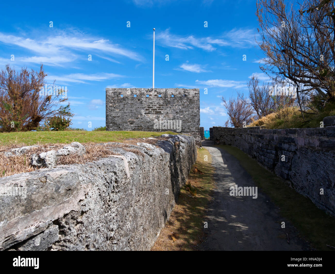
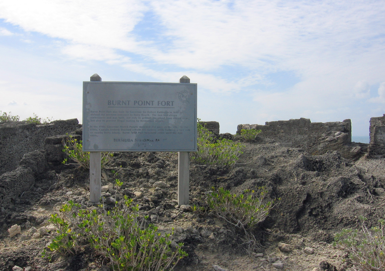
°Burnt Point Fort
on
Ferry Reach Park, Railway Trail
°
The fort once had five cannons, though today little more than the foundation remains.
°Martello Tower
on
°Ferry Reach Park, Railway Trail
°
The towers were named after the place Cape Mortella in Corsica. This is where 22 men from a large circular tower had put up a spirited fight against British attack in 1794, although they had to finally surrender after two days of intense battle. The British were so impressed with such a structure that they went on to construct such circular towers all over the east and south coasts of England and called them Martello Towers.
°Ferry Reach Magazine
on
Ferry Reach Park, Railway Trail
°
Three forts had been sited on Ferry point, the most recent being the Martello Tower built, along with a nearby magazine, under the command of Major Thomas Blanshard, RE, in the 1820s.
°Devonshire Redoubt + Landward Fort + King's Castle
on
Castle Island
°
The King's Castle stone fortification on the island - which gives the harbour its name - dates to 1612, and is the oldest standing English fortification in the Americas and oldest stone building still in existence in Bermuda. The castle was the site of the successful defence of Bermuda from Spanish attack in 1614.
°Brangman's / Southampton Fort
on
North of Castle Island
°
Brangman’s Fort is a fort and is located in Saint Georgeʼs, Bermuda. The estimate terrain elevation above seal level is 5 metres.